
1.8 mApolima Strait swell
01 · Marine
Marine & fisheries
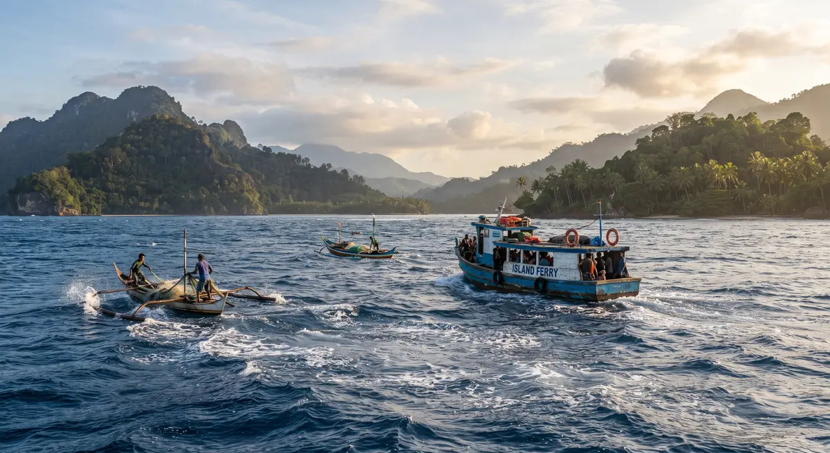
Sea state, swell and wind for the Apolima Strait crossing, small-boat advisories and tide tables.
Marine forecast →Official forecasts, warnings, climate outlooks and earthquake information from the Samoa Meteorological Service, in English and Gagana Samoa.
 06:12Sunrise
 18:51Sunset15:40High tide, Apia
 SE 15Wind, km/h
Cyclone tracks, rainfall, tsunami zones and live stations on one map, built on open-source tools and the island coastline.
Fishers, pilots, farmers and planners each get the products they need, written for their decisions.
Sea state, swell and wind for the Apolima Strait crossing, small-boat advisories and tide tables.
Marine forecast →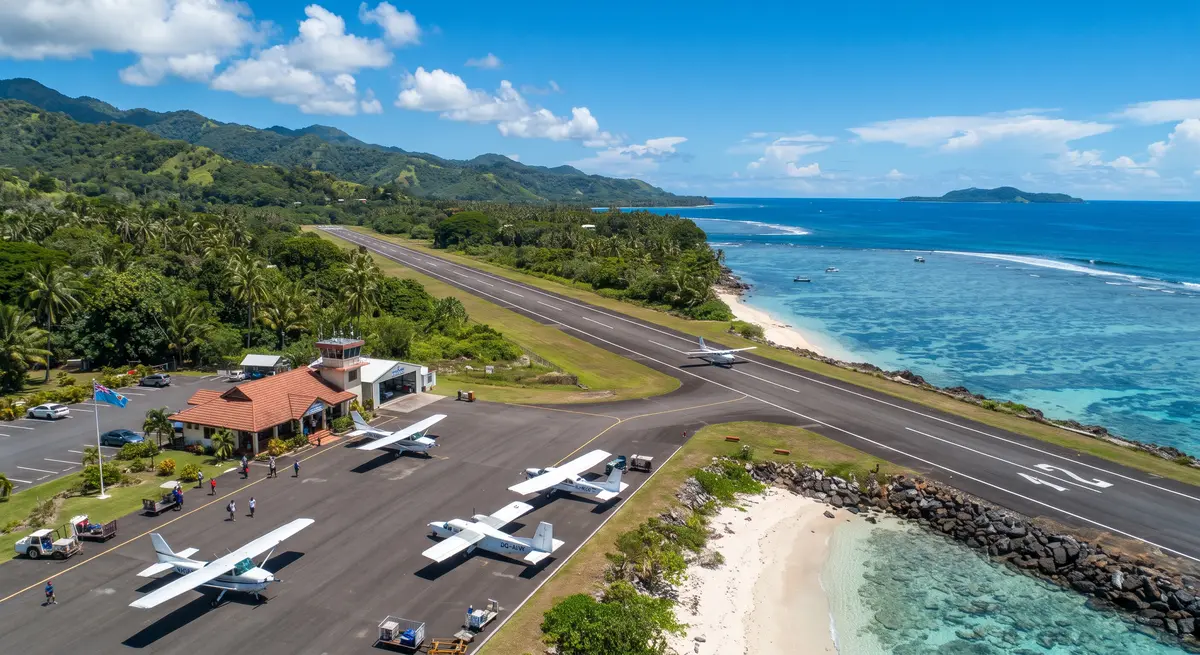
METAR and TAF for Faleolo and Fagali'i, SIGMET and briefing packs for pilots and operators.
Aviation briefing →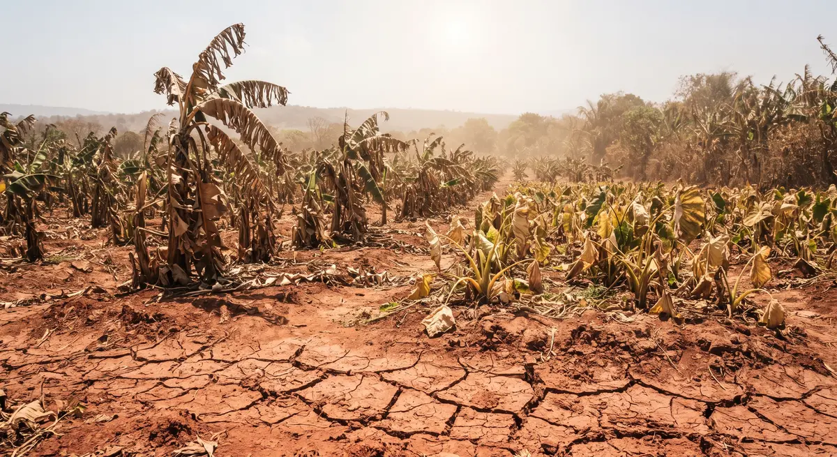

Rainfall outlooks, drought index and planting advice prepared with the agriculture sector.
Drought monitor →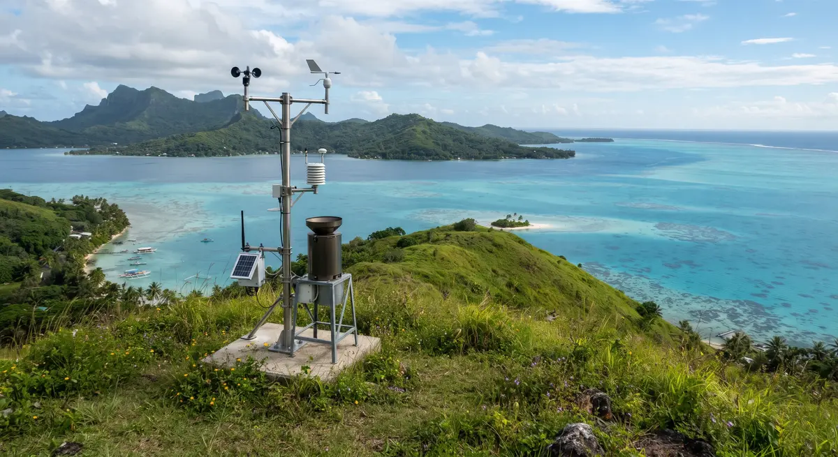
Station data, climate records and downloadable datasets for researchers, planners and students.
Open data →
A section to record and share traditional weather signs with village communities, alongside the scientific forecast.
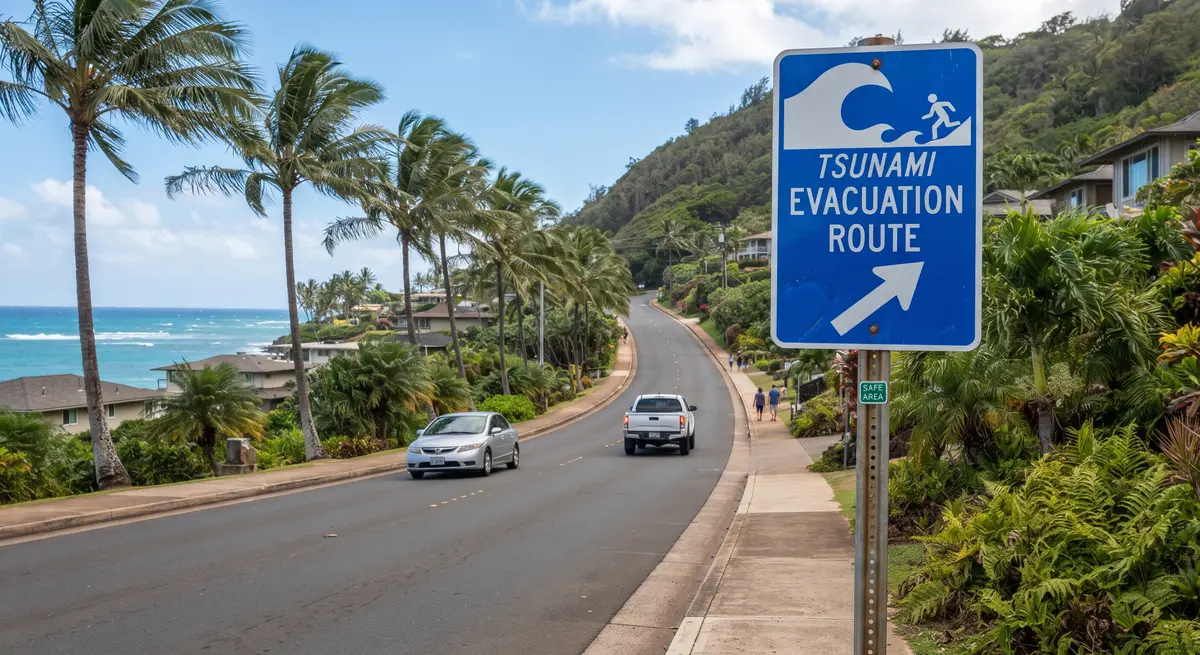
Recent earthquakes near Samoa, tsunami status and evacuation maps, published by the geohazards team.
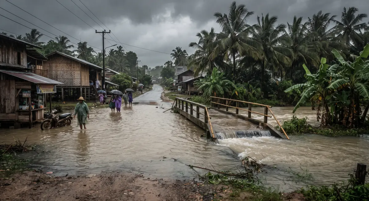
Reports with a photo and a location help forecasters and the disaster office act faster. They go to the same system as the mobile app.
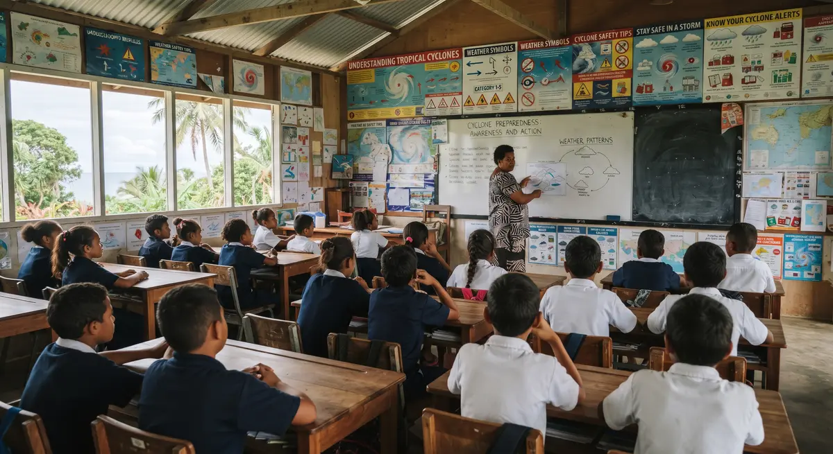
Lesson plans, posters and simple experiments for primary and secondary teachers.

What each alert level means and what your family should do.
Guide · PDFStrong shaking, sea drawing back, a loud roar: go to high ground.
Poster · 2 languagesTrends in temperature, rainfall and sea level, explained simply.
Story mapThe website and the SMS mobile app share the same content, so a warning published once reaches everyone.
 25°